Healthier Fields | Sky-High Yields

Specialized Services
Looking for something unique, ask us. Below are examples of other services we can provide.
Aerial Crop Solutions
Need something else, contact us to explore other options
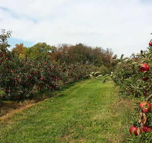
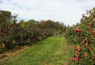
Orchard Mapping and Spraying
We can reconstruct high-resolution maps, identify the number of trees, and generate a three-dimensional route for our drones to conduct spraying or spreading operations.
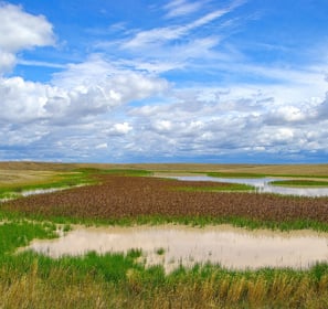
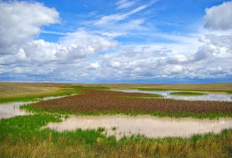
Environmental Monitoring and Natural Resources Survey
Precision mapping can survey about 500 acres in an hour. This can be for water enrichment monitoring, forest distribution surveys, and conservation land management.
Herd Management
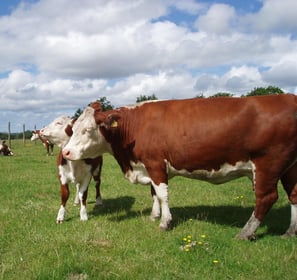
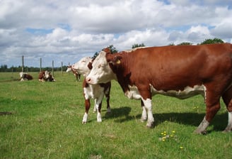
The built-in AI model, laser, and thermal camera can detect animals, pinpoint their location, and track them. Farmers are able to check the health of their livestock from a distance.
Hunting Lodge Support
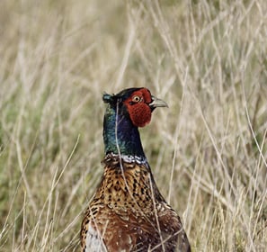
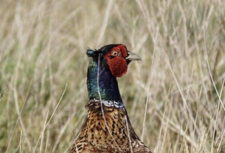
Precision mapping can help chart terrain and identify both nesting and winter cover availability. The camera can also assist with identifying the health of flocks in the area.